The Master Plan
A community shaped by the land
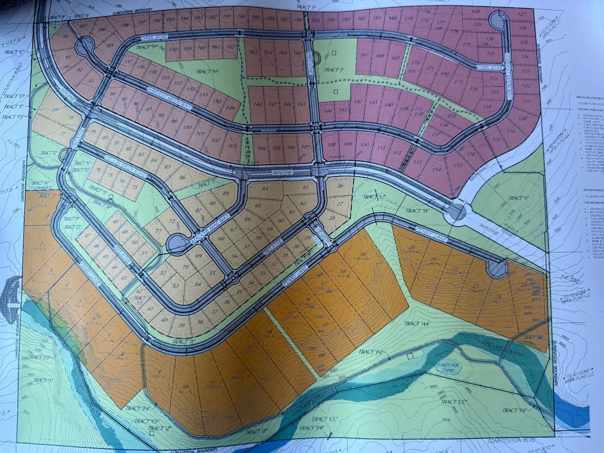
Pine Valley is planned around one quiet loop road, three small residential groups, and a great deal of open land. This illustrative map shows how the pieces fit together: entrances, roads, homesites, meadow, pond, trails, and the view corridors held open for the Peaks.
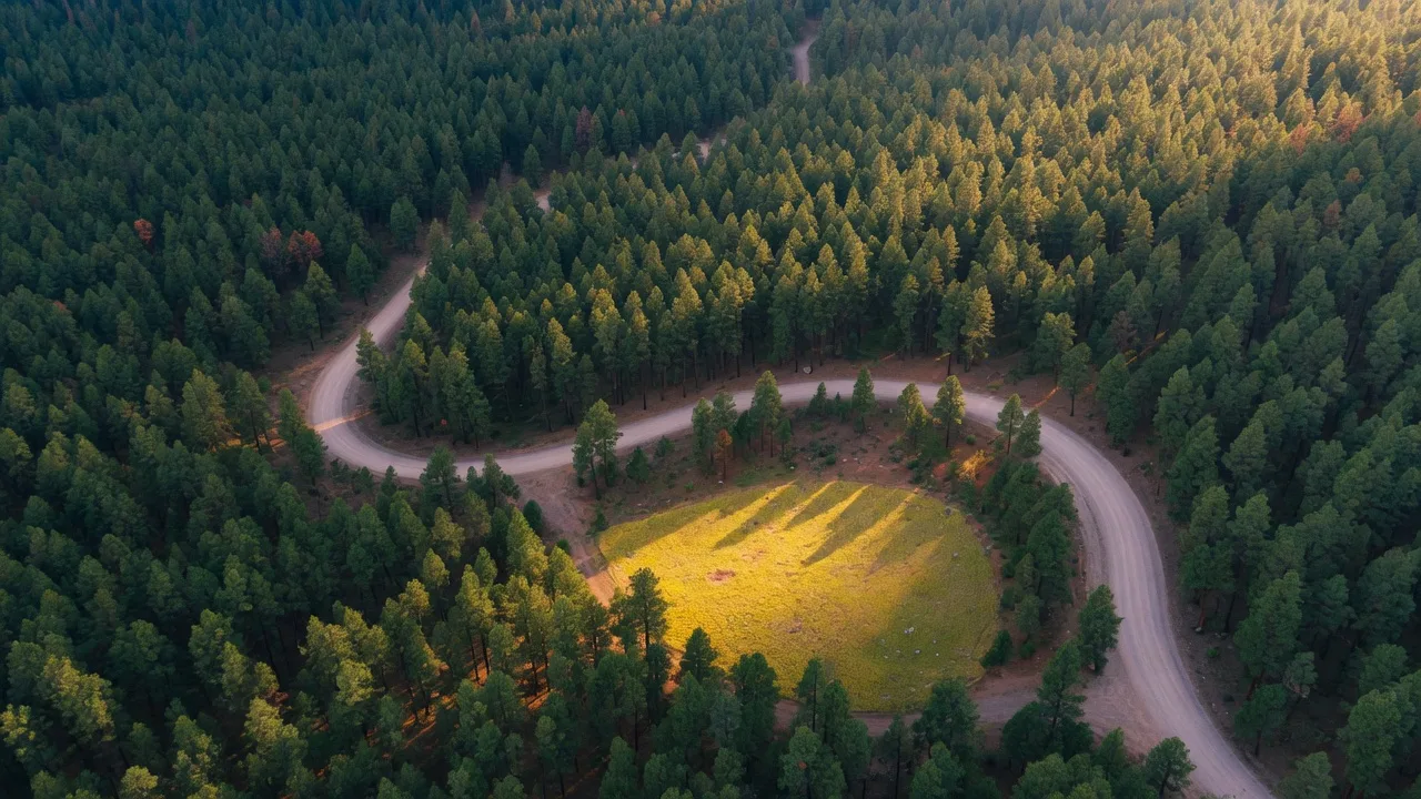
Illustrative plan · conceptual, not survey
Interactive Plan
Move across the map. Find your site.
Each marker is an illustrative example homesite. Filter by status, neighborhood, size, or view, then open any site for its full story.
How the Plan Works
Five parts, one whole.
01
The Ridge
A handful of elevated sites with the strongest, most protected view of the Peaks.
02
The Forest
Homesites set deep among mature ponderosa, for those who want the trees closest.
03
The Meadow
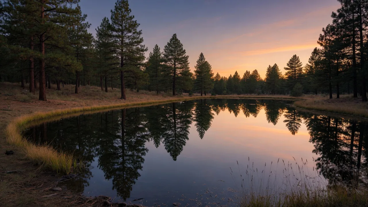
Open sites along the meadow and pond, made for long light and evening walks.
04
Open Space
Conservation woodland, meadow, and trail corridors connecting every part of the community.
05
Future Phase
Reserved ground for later seasons, held back until the community is ready.
View Corridors
The Peaks are part of the plan.
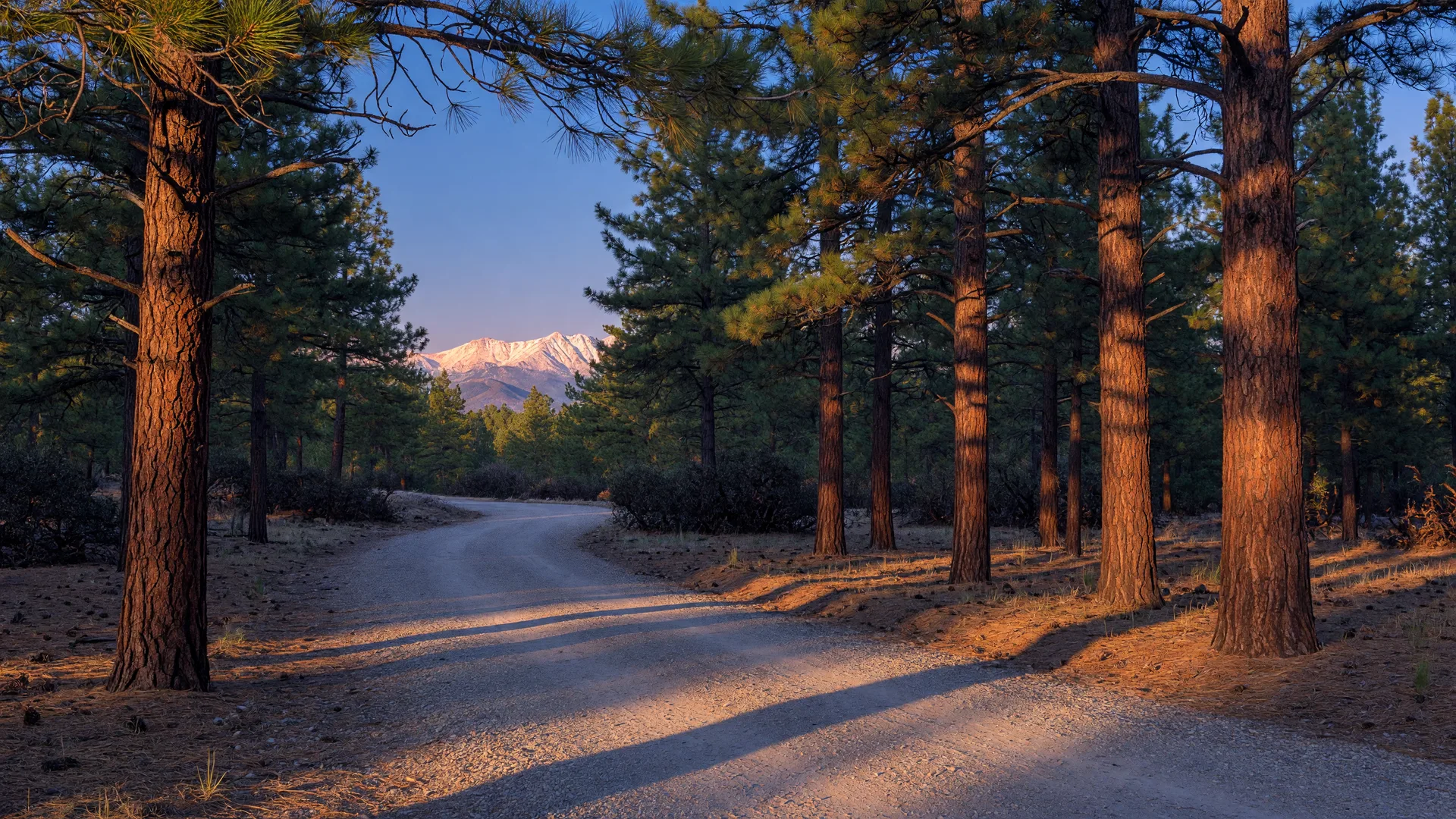
The map marks each sight line to the north. These view corridors are held open, so a home built today will look out on the same Peaks the meadow has always seen. Direction of view is noted for every homesite, and southern and eastern exposures are favored for light and snowmelt.
Next Step
Walk the plan on the ground.
A private tour follows the actual land: the entrances, the loop, the meadow, and the homesites that fit your intentions.